Murray River Paddle 2016 Day 17 Gunbower Perricootta Koondrook Forest to Barham


Gunbower Perricoota Koondrook Forest - Barham 73 km


My campsite at Stanton Break, about 30km into the Gunbower Perricootta Koondrook Forest.


The Murray is full of surprises. This is a distributary (a stream which leaves a river, spreading the flow over the floodplain) next to my camp. It kept my area mossie free and provided beautiful, fresh, easy to access, flowing water for cooking and cleaning. The only thing I had to watch out for was that on launching I would not get washed into the forest instead of heading down the river.

Up with the sparrows and ready to go. Mornings are beautiful on the river.

I got up early this morning, not long after I heard a big roo bound through my camp. It was impossible for it to do this quietly, as it had to hop through the little streams that surrounded my tent first. The morning chorus was wonderful, as it has been every day in the forest, however, today the bird call continued the whole day with none of the usual pauses. Perhaps it has something to do with the floods and the abundance of food this has brought.

The Gunbower Perricoota Koondrook Forest (GPK) is quite different to its cousin, the Barmah Millewa Forest. Although both are river red gum forests adapted to flooding, the Barmah choke restricts water flow, turning the area into one huge lake. I was worried about the townships of Barham and Koondrook having the same effect. It is over 100km from Torrumbarry weir to Barham. 100km without landfall is too much. Without advice and encouragement from locals I would have called this section off. There are natural levees which run throughout the forest, making it possible to get out almost anywhere and plenty of camping opportunities. I'm glad I paddled this section. Not only will my study of the condition of river red gums be complete for the length of the river, but it was really beautiful.

The reason why the river is so much higher than the forest is not just due to the levees. When Australia had an inland sea, this was where the Murray entered it, building its own delta, much like the Coorong is today. Trapped within its levees the river continues to run along high ground, with anabranches like the Gunbower Creek and Thule Creek feeding the lower parts of the forest before returning to the river lower down. Fascinating.

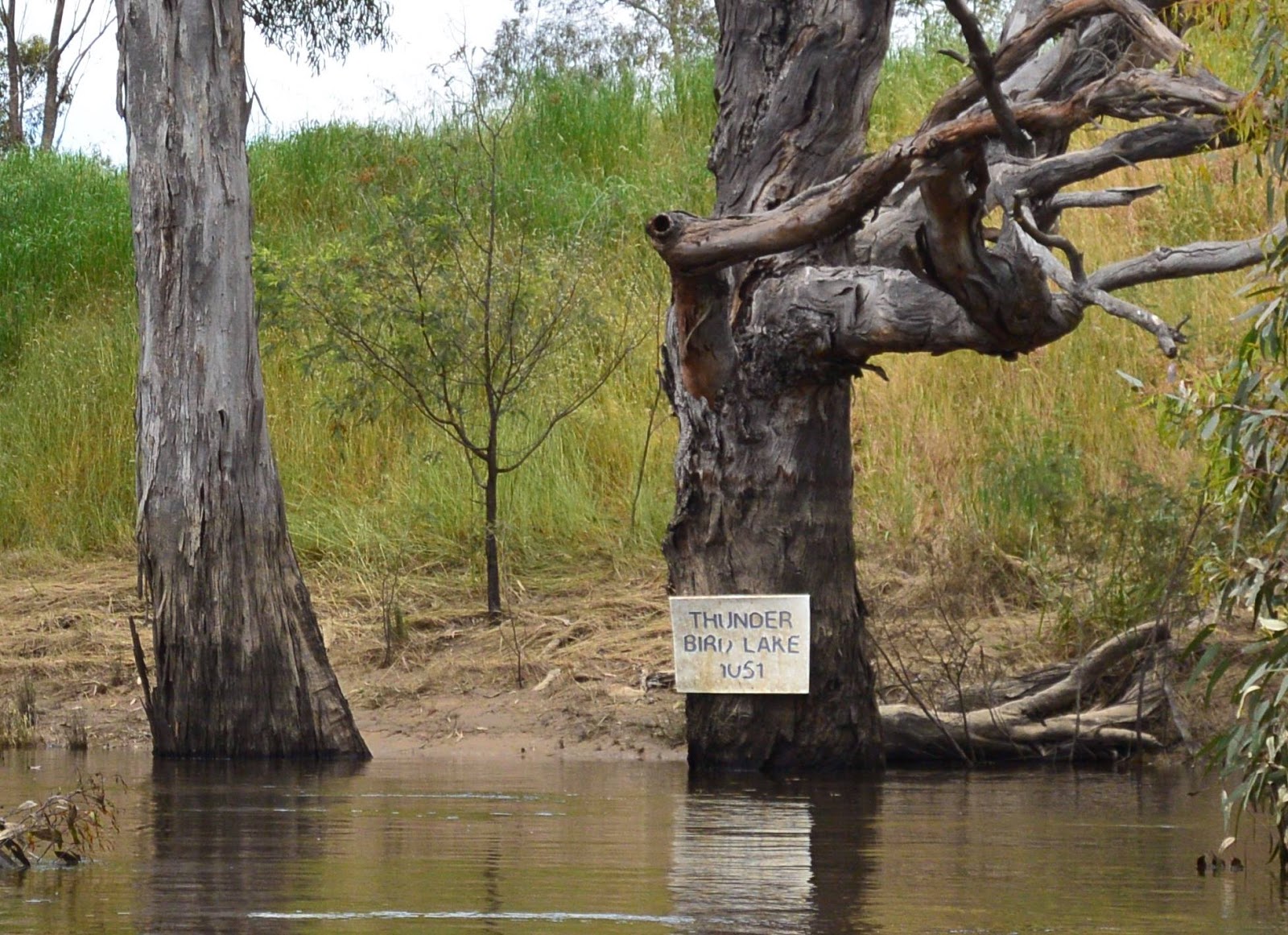
Near Burkes Bridge, Gunbower-Perricootta-Koondrook Forest


For most of the day I saw no-one. It's a quiet stretch - another thing to recommend it. However, about 20km out from Barham I came across a four wheel drive. My first thought was that it had been abandoned. I've seen a few abandoned vehicles and vans, when people didn't manage to get them out in time, or were surprised by the rising water. However this one was not deserted. I called out its resident, asking whether he had taken the river road (it follows high ground). He let me know that he had been there 'for some time' after having become 'inundated'. He didn't want help, or me to let anyone know he was ok, so I left him to his fishing. At least he would not lack for water. I hope he had plenty of repellent.

In the Murray Marathon (aka Massive Murray Paddle) the section from Murrabit to Swan Hill is famous for swirls and whirlpools that can turn a boat. This section is just the same, the current swells and whirlpools have to be seen to be believed. I am not sure what causes them, but they are on almost every corner.

The forest is clearly worked. Most trees are tall and straight (encouraged that way because they are more valuable as saw logs). Old trees were rare. In a natural forest these will be scattered throughout and particular along old water courses. In worked forests they tend to be along the banks, however here they have been removed for some reason.

Another surprise was how big an effect the millennium drought has had. In higher areas, trees are still recovering. It might still take another 10 years before the forest reaches full health again - assuming it has access to water in that time.

As I near Barham, farms began to appear, then fishing shacks, then houses. Going off the number of picnic tables, bush furniture and Tarzan swings, the people who live here really love their river.

I pulled into Barham Lakes Caravan Park because it had units right down at the water’s edge (and it was the first one I came to). Park manager Helen said "The forest protects the town, it always floods the forest first. You know, the river is actually higher than it was in 2011".

Tomorrow I make for Morton Lane, a high spot near Benjeroop, halfway between here and Swan Hill.

I paddled past a big floating log today. I hope I've gone far enough that it does not pass me while I sleep. The river never stops.

Calm reflection.

Park hut.

Brad's Bend.

Bush carpentry.

Paterson's curse? The bees love it.

Ring barking. One reason why there aren't many old trees on the banks along this stretch of the river.

Wildflowers along the river bank.

River landscape.

Forestry often provide firewood. Kind.

Loo with a view. It has also been used for target practise - hopefully not at the same time.

Reflections.

Fishing shack. Weekend glimpse of paradise.

Murray River Paddle 2016 Day 16 Gunbower Perricoota Koondrook Forest

Day 16: 1595 km Stanton Break, GPK Forest 31st Oct 2016

Torrumbarry Headworks - Stanton Break - Gunbower Forest 53km


It was a relief to have a relatively calm day after yesterday’s strong winds. I took a more relaxed approach to the day knowing that i did not have to battle headwinds and cruised along at an average of just over 8 km/hr, which is not bad given that I stop paddling to photograph every 250m.

About 10 km in I came across the collection of buses and old vans that exist at Norris Bend. Whether these are still used, I don’t know. I stopped to photograph one old bus whose front axles seemed to be slowly settling into the mud, when I received a message that the lock master from Torrumbarry Weir, would only be available before 11am and after 3pm today. Still 11km away, I had to race, I upped my average speed to just over 10 km/hr but was hitting speeds of up to 12.5km/hr. Not bad for a fully madden boat, especially when I still had to take my photos. Alan Williams, the Lockmaster, was pleasantly surprised when I made it. He opened the gates just enough to let me through, I snuck under the walkway which is raised for larger boats and chatted whilst he closed the first gate and opened the second. Last time I went through this lock, the difference in levels was around 5m. Today there was no difference, however going through the lock saves 2 hours of packing and portaging.

Alan Williams informed me of a small houseboat that had run out of fuel about 6km down from the weir. He was just thinking of conning someone in the caravan park to motoring down to them with a jerry can when Alan Whelan, the fella travelling the length of the Murray in a small yellow tinny called up requesting passage. He volunteered to bring them fuel when he came through at 3pm. Alan and i have passed each other a number of times, beginning in Barmah forest, not far from Tocumwal and last time a few days ago, leaving Echuca. I didn’t expect him to pass me today, but having heard from the stranded couple, and how it could be difficult to get fuel in Barham on Melbourne Cup Day, Alan decided to put in some big kilometres. He travelled all the way to Barham - around 110 km away. Too far for me. I had hoped that he would be my backup through the forest, but once he passed me later in the day this was to be the last time I was to see him on the river. Alan began his trip at Bringenbrong Bridge. The most challenging thing he found was negotiating the rapids at Jingellic. He enjoys the bush camping. One of his prize accessories is a big steel drum, which he uses to heat up water for a shower. Safe trip to the mouth Alan. Keep an eye out for him in his yellow tinny.

Motivated by the story of Alan’s hot water drum, I boiled up a trangia kettle of water and used this to create a hot towel, like they serve on airplanes. It was actually really nice and probably good for the skin to be rid of all that sunscreen and repellent for a while.

I also stopped and chatted with the stranded couple in the houseboat. With the strong winds potentially pushing their boat into the trees and the strong current in the high river to work against, they had underestimated the amount of fuel their twin outboards would use and had pulled to the side once one began to splutter. The good news for me was that they informed me that there were banks all the way to Barham which meant that I would be able to find a camping spot - something I had been really quite concerned about after my experience in the Barmah Forest.

The river is approximately 30cm higher than the surrounding forest. At Stanton Break, where I am camped for the night, a break in the levee allows water through to the forest. Bizarrely, it uses the roads, running along the graded earth gutters either side like small streams. An unexpected benefit of camping amongst so much running water is that there mosquitoes don’t like it. I hardly had a mosquito in camp until I took a walk through some grass and bought about 100 back with me. I won’t be doing that again.

It was nice to get in camp early enough to dry my clothes, refill my bottles with filtered water, cook dinner and make a start on charging devices for the next day. Come evening, I like to be in my tent. After a long day’s paddling, it is good to lie down, and under the protection of good flywire I don’t need to worry about being bitten.

Tomorrow I hope to get off early enough to have a crack at reaching Barham-Koondrook. If the banks remain, this is not essential, but better safe than sorry. Any recommendations on camping grounds in Barham-Koondrook?


Safety gear for a big leg through flooded forest all the way to Barham - at this stage still an unknown.

At the front of my cockpit you can see my GPS mount and iPhone for panoramic shots. My main camera, a waterproof Nikon AW1 is tucked in behind my life jacket, and a smaller Nikon Coolpix AW130 pocket camera for videos and when weather conditions become too rough for the larger camera is tucked into a pocket on the life jacket. An EPIRB is in the final pocket, in case of emergency.

8:51 a.m. At 1648km, just after the National Channel offtake. I can see some shelducks there. All River Red gum forest, 20 kilometres from Torrumbarry Weir. Much lighter conditions than yesterday. Expecting a sunny and cool day, with a light breeze.

At Norris Bend, about 10km upstream from Torrumbarry Weir is a collection of old buses people have set up as holiday homes. These had pretty wet feet at the moment, but otherwise seemed ok.


Entering lock 26 at Torrumbarry Weir, the most upstream of all the locks on the Murray, an attempt to make the Murray a year-round navigable waterway to rival those of Europe and North America. To this day all boats (big and small) have right of passage, so long as levels are safe.

Alan Williams, Lockmaster Torrumbarry Weir. The locks and weirs are run by catchment management authorities. Lockmasters record the names of all boats that pass through, maintain equipment and gardens, as well as adjusting the flow of water along the irrigation channels which flow from their weir pools irrigating farms in the region.

Master's Landing, Gunbower.

Old Cohuna Headworks Channel.

Master's Landing, Gunbower. This used to be the site of one of the wharfs which serviced the early Gunbower settlers. The reconstructed building and holding yards are a tribute to them.

The Cohuna Headworks, a little further downstream, were the site of one of the earliest irrigation works in the area. Long before Torrumbarry Weir was built in the 1920's local farmers used steam engines to pump water from the river and run it via channels to their farms. The sites where these pumps stood were called headworks. Rusting old remains of steam engines all along the river are clues to the presence of similar schemes.

Leaves form beautiful patterns on the surface of the old Headworks Channel.


Alan Whelan in his yellow tinny. He eventually even skippered it across Lake Alexandrina.


With the river right to the top of the bank, high levels provide the chance to look into the bush on either side. After rain, wildflowers bloom making it all rather pretty at times.


My camp on the natural river levees that in times of flood like this, holds the river higher than its surrounding countryside. Where the river has broken through like this, it flows quickly into the low ground. Unlike the Barmah Millewa Forest, the river upstream of Barham, never covered its levees. Water that left the river to the North flowed into the Wakool System. Water flowing to the South eventually entered above Barham.

Murray River Paddle 2016 Day 15 Echuca to Torrumbarry Headworks Rd.


Echuca to Murray Marathon Day 4 Finish Torrumbarry 63km.

Time to get going again, but what a windy day it turned out to be. Winds were light in the morning, but as the northerlies changed to westerlies, they increased in strength until I was doing saved and holding tightly onto my paddle, lest it take off on its own.

This is home territory for me. Paddling this stretch brought back many memories, particularly from the Murray Marathon, which I have competed in as an individual, school’s team coach and with inland outriggers. I know I share these memories with many others. The great event takes place in three weeks. Not long now.

Sandhills took a knocking today, as did banks which had lost their ground cover of grasses, or protective trees. It seems that once the surface is broken, erosion happens quickly. Large sections of steep and sandy banks have collapsed, particularly when on the outside of bends, or near to infrastructure like boat ramps and jetties.

I was surprised at the number of new developments which offer these facilities between Will's Bend (30km downstream of Echuca) and Headworks Road. Two story villas, luxury houses and holiday developments have sprouted since I last did this trip in 2012. What this means is that previously quiet stretches are within reach of more boats. With more boats, comes more wash. The erosion that is happening now is not from boats, it is caused by the current and action of wind driven waves, but when the base of the channel is widened it destabilises the bank above it. Water softens the soil and it crumbles. Over multiple floods a stable angle is reached, the more clay the steeper the bank. Some of the erosion is a side effect of river regulation. The Murray all but dried out in summer before dams were built. Summer levels eat into the base of the banks and high rivers cause them to collapse. Boat waves eat further in, they are not alone to blame, but they do accelerate the process. What if these developments had to invest in bank protection measures, so that they had a positive effect on the environment, instead of a negative one?

For all the change that is apparent, the stretch remains beautiful. The wind, though challenging, brought sparkles to the surface of the water and the stretch was peppered with friendly campers and people enjoying the river in all manner of boats.

The collapsing banks, form a sediment toe which is then colonised by river red gums. Perhaps what we are witnessing is the beginning of a new cycle of widening and colonisation. Key to the new form establishing and not becoming runaway erosion is the establishment of trees, and in particular the river red gums - which are what my journey is all about.


Setting off from Echuca boat ramp. The change of boats turned out to be fortuitous. I would have been blown all over the river in the double.

Before the wind, the sun came out. Perfect paddling weather - or so I thought then.
Old pier from paddle steamer days and windmill - a look into a past time, when riverboats were a life-line: the means of getting wool to markets and goods to homesteads. 

Bora Bora Wildlife reserve, just down from the Five Mile reserve.

Erosion adjacent to a new boat ramp. Again and again on this trip i have witnessed how the power of the current on outside bends causes bank collapse. In situations like this one, where a new boat ramp has broken up an otherwise stable bank, the river has something to bite on. The grassed bank to the right of the photo is what the bank looked like before the high river.


The wide river is quiet and peaceful. I have it pretty much to myself.
Erosion up to the high water mark. The overhanging soil will also collapse, eventually leaving a new, stable bank sloping up from the river behind it. Hopefully, over time, new red gum seedlings will be able to establish on the bank toe and face in the coming years.
The roots of these trees show where the bank once was. Without them it is difficult to imagine what the bank once looked like. The age of the trees gives a clue to how long the bank looked like that.

2:41 p.m. Just passing 1668. This was the location of my first camp on my first long journey down the river 2012. It was quite a bit hotter back then. River Red Gum on the fringe on the New South Wales side… with forest on the Victorian side…


Thunderbird lake was built by a farmer for the purpose of racing hydrofoil boats. It was made by building a rectangular levee bank one kilometre long and several hundred metres wide and then pumping it full of water from the river. Races no longer take place and I am unsure what became of the lake, but the sign still remains.
Ruined farmhouse. Typically the first dwelling was single room. Initially a chimney made of flattened kerosine tins would be made. Later other rooms would be added and the chimney replaced with brick. Up until that time, the houses were made purely with materials from the surrounding bush and repurposed supplies. They are a testament to the resourcefulness and resilience of the early settlers.
Whilst the day began peacefully, the wind became progressively stronger, until I found myself punching through 40 to 50 cm high waves and against a wind which gusted regularly to 50 km/hr. It became difficult to take the photographs I depended upon for my research of bank condition. I had to give up on using my good camera and resorted to hurried single handed shots using my pocket sized Nikon AW130. 

Amongst the wind and the waves there were still moments of sunshine and peace. I guess that is one of the benefits of having a river that meanders all over the place - at least some of the time you are out of the wind. These were moments to savour.

...and back into the wind... the nose of my boat would disappear up to my water bottles underwater at times. I was so glad for the work of the designers and manufacturers in building such a solid and reliable boat.