Day 24: Tuesday 11/12
Rilli Island Conservation Reserve - Moorook - Lock 3 - Overland Corner.
River markers: 500 to 426 km from the sea.
Distance travelled today: 74 km.
I left my island home with the intension of making it to either Kingston 'on the Murray' or Lock 3. During the day, I realised that if I made it to Lock 3, I would be in striking distance of the Overland Corner. The story around that hotel and what happened compelled me to try.
The current was not as fast as in the past days, but I had a light tailwind. This was good news as today's distance included the infamous seven mile reach (known to inland outriggers as the 11 kilometre straight). It is said to be the longest reach on the river. For once the river seems to know where to go. The problem is that us freshwater sailors are used to and have come to like and feel secure in its twistings and turnings. It also keeps the journey interesting because you never really know what will be around the next bend. Enter the 11 kilometre straight and the horizon disappears. It is as though you have become a cartoon character in someone's perspective drawing where the path you are following just disappears into the infinite distance. The difference to the ocean is those guide rails. They just keep saying “go ahead, doesn't look like you've done much, but keep trying”. It took an hour and a half to reach Moorook, a few kilometres past the end of the straight. I called in for sanity, food and a rest.

 |
| Day 24: I like coming in close to overhanging trees. This one was full of flowers, others have nests. The most common are the darters, they make a messy nest out of gum leaves. |
 |
| Day 24: Reeds on the river banks are common around here. The moorhens love them. |

 |
| Day 24: The beginning of the seven mile reach . Otherwise known as the 11km straight. The longest straight on the Murray. It went on and on and on... |
There were things to look at on the banks going up the straight. There were the elaborate houses on the tall banks that looked like they belonged to people from Adelaide. There were the smaller, more modest farm houses with home-built sitting areas down near the river to escape the summer's heat and all too often fields with tall sprinklers that once would have watered orange trees, but were pulled out in the last drought when water could not be guaranteed these farmers, or as the result of government water buy backs, after the drought. The houses were on the taller southern bank. On the lower flood prone northern bank were red gums and mulga trees. The mulgas have low drooping branches that almost hang to the ground, tempting some people to call them native willows. Wallabies and kangaroos like to lie near the river protected from the sun's strong rays under these trees. I caught many snoozing. They often awoke with a start. Many were mothers with joeys. The joeys would bound away a short distance and then look back at mum. Mum seemed to know that I was not a threat, but stayed alert watching all the same. Under one tree was a collection of swallows’ (tree martin) nests, and, as it was close to the water I was able to take a photo.
The constant bank watching caused neck ache after a while. I listened to an album. Finished. Now what? Still 5 kilometres straight paddling to go. I tried paddling with my eyes closed, feeling the rhythm of the boat. Staying upright, but not maintaining a reliably straight course. The act of closing eyes also let sunscreen into them. Failure. Keep paddling. Just do it. At least there was no head wind.
 |
| Day 24: Swallows nest under an old gum on the water's edge. |
In Moorook I dried off on a park bench and then went into the store, as much to talk to the shop assistants as to buy something. I bought my normal performance food, pie and a chocolate Big M. The lady serving me told me about life in this small town, how with thirty years there, she was almost a local. The shop was a cafe, supermarket, post office and petrol station. The owners were selling after five years of seven days a week. She hoped that she would continue working there. She had seen out three owners now. Thongs seemed to be the uniform for men in Moorook. With my river shoes, I felt overdressed. One bloke hurriedly brought a pair. Maybe he had had a blow out.
From Moorook to Lock 3 was 22 kilometres and I had just two and a half hours to get there. I would have to maintain an average of 10 kilometres per hour to get there on time. That is fast for my kayak. Burping up pie and the other performance food I had so greedily consumed, I raced to the weir. Time had gotten away on me, the weir was further than I thought and the last lock age was 30 minutes before closure. I made it three minutes past the cut off, but was let through anyway. The drop in the weir was three and a half metres, the biggest outside of Torrumbarry. Jamie, the Lockmaster, explained that because the river is hemmed in between two sets of hills here - the same that form those magnificent cliffs - floods happen quickly here and are fast flowing, as the water is squeezed through this natural bottleneck.
 |
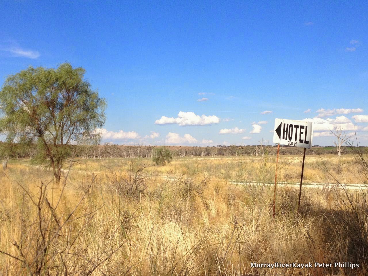
| Day 24: The way to the Overland Hotel from the river. For their sake I hope that they also have another road. (They did). |
 |
| Day 24: The Overland Corner Hotel. Original and compelling. A living museum. |
Pulling into Overland Corner, I met Graham who was on an extended cycle tour of Australia before returning to his home country of New Zealand to live. I persuaded him to come to the hotel with me. Built in 1850, it is one of the oldest country buildings in South Australia. The name comes the times of migration from the coast to inland Australia. People hoping to forge a new life on the land took the paddle steamers from Goolwa, where the Murray enters the sea to the Overland Corner, where they continued their journey by stage coach. This was the last point that the river could reliably be travelled on in summer. From here on, it was goodbye to the smooth luxury of a paddle steamer with its parlours and cabins and onto a stage coach to Wentworth. The entrepreneurial founder of the hotel had first released brumbies into the bush here. With these as a breeding stock, he was able to supply the 300 horses needed for the coach run. He used the natural bends of the river and narrow gorges between its cliffs to trap the brumbies when they came down for a drink in the evening and so always had a supply of horses when he needed them. He built a solid building, which is virtually unchanged to this day. Its thick walls are made from limestone quarried from the cliffs behind it. I enjoyed my few beers and overland burger and with the sun setting over the river returned to camp.
I recommend that you seek out this hotel and its friendly staff when in the area. You won't be disappointed.
 |
| Day 24: Campsite near the Overland Hotel. |
 |
| Day 24: Sunset on the river from my campsite. |
More from this expedition:
- Google+ Murray River Paddle Echuca To The Sea Photo Album
- Facebook Murray River Paddle
- YouTube Murray River Paddle
More information about topics from this page:
- Discover the Murray: Overland Corner Hotel, River Murray Locks, Weirs, Dams and Barrages.
- Postcards South Australia: Postcard of Overland Corner.
- National Trust:
- Rilli Island Conservation Park Management Plan
- Barry and Maureen Wright's River Murray Charts
- Environment Victoria: The Living Murray
- Ecology of Floodplain Lakes and Billabongs
- Geology: Murray Valley Geography (A geological timeline of the development of the Murray).
- Victorian Geology: Tectonic Framework of the Lower Murray. (from Red Cliffs).
- ABC Riverland SA: News and Community Events


